In addition to internal use, Olameter provides Workforce Management as a hosted service to our clients and their contractors.  Our clients benefit immediately from substantial quality, reporting, and auditability improvements, while avoiding large-scale investment and long-term commitment in hardware, software and operating costs.

The system may be deployed on a variety of tablet and handheld computers concurrently.

Assign work orders

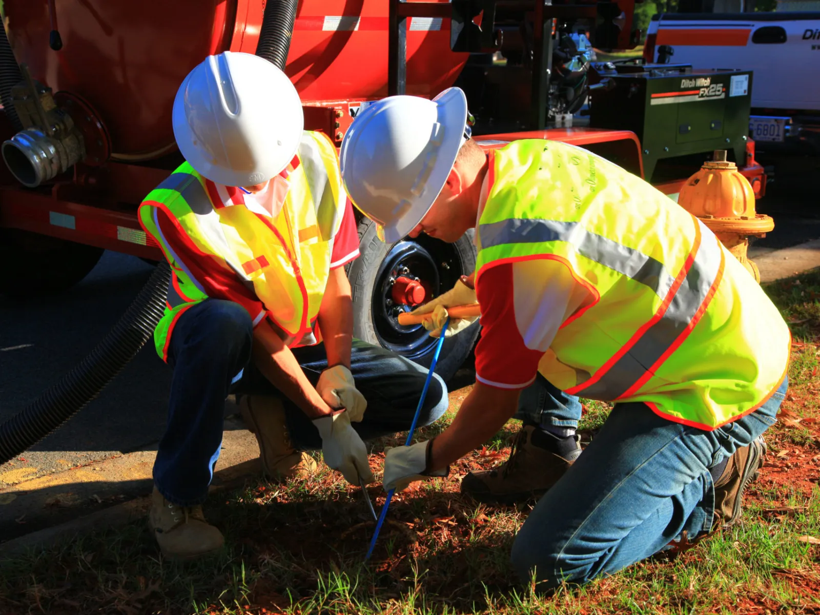
The system relies on a series of service order templates that are readily adapted to the specific workflow requirements of any given utility.  Existing templates cover the following types of work:

  • manual meter reads
  • AMR meter reads
  • mass meter installs
  • disconnect / reconnect 
  • underground locates
  • gas leak detection
  • water leak detection
  • pole strength tests
  • pole joint-use audits
  • valve box cleanouts
  • standpipe repairs

It can be used to monitor the following:

  • time and materials
  • work site safety and security
  • track progress
  • service order management
  • site inspections

Dispatching

Data for service orders are loaded into the web application and dispatched to field service personnel, based on elements that either Olameter, or the client, deem pertinent, such as:

  • allocated territories
  • available equipment
  • technicians’ skill sets
  • optimized routing
  • priorities and deadlines
  • technicians’ proximity

Data Protection

Secure data transfers are established through either an XML API or flat-file. The flat-file format simplifies integration with our clients’ billing or Customer Information System (CIS). Our Workforce Management System has been tested extensively to prevent data loss in the field. The equipment can store hundreds of work orders concurrently, and security features restrict field personnel from deleting or altering data that has been collected without the necessary audit trails.

Advanced Features

When linked to the IoT Platform, all transponder-equipped devices can automatically select strongest wireless signal available at the lowest cost at each site.                                                     

Read More

When linked to the Spatial Data Infrastructure, data gathered by the technician (ticket details, photos, GPS co-ordinates, etc.) is correlated with other sources of data.  Utility assets are recognized using AI and compared with the technician’s notes and the client’s database.   Assets are analyzed for changes, GPS co-ordinates are corrected, and vectors are computed and mapped.                                                 

Read More

When linked to the Network Operations Center, the field technician may view the status of the network at the site and to receive notice when network faults and outages are detected.

Read More